
About this CARP project
 This project aims to produce insurance zone maps based on objective probabilistic drought risk metrics and qualitative assessment of farmers' risk perceptions and preferences to inform an extreme event catalog and agriculture exposure database, which will allow the estimation of agricultural losses associated with droughts based on high-resolution weather records and recent agricultural crop exposure datasets. Such risk information products may help to define insurance zones and to inform the proper determination of indices for Weather index insurance (WII) and other adaptation measures in vulnerable communities in Ethiopia.
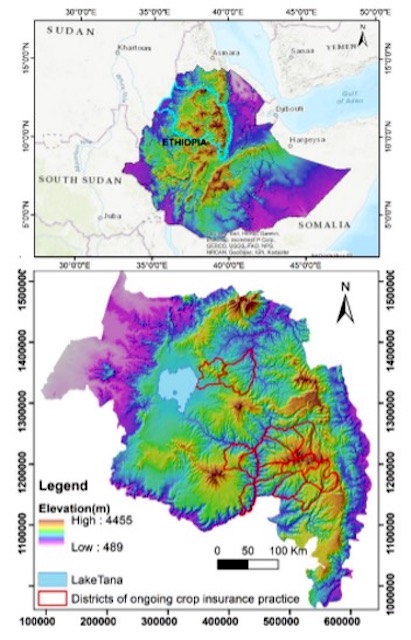
Study site: Amhara Regional State, Ethiopia..
Main Research Questions
We follow the global analytical framework for probabilistic risk assessment, which sets out to answer the following questions:
- What could happen – developing a catalog of extreme events based on observed and simulated drought events?
- What could be damaged or lost – developing an agricultural exposure database that includes crop areas and their total economic value at risk?
- How bad the damage or loss could be – constructing loss vulnerability functions by crop type?
- How much are the Annual Average Loss (AAL) and Probable Maximum Losses (PML) associated with different return period droughts?
Risk information is a foundation to support decision making in disaster risk reduction and climate adaptation investments including the development of financial instruments such as weather index insurance to transfer and disperse risks reasonably and effectively. Focusing on insurance zone mapping and detailed risk profiles of areas in Amhara Regional State of Ethiopia, this research project primarily seeks to inform insurance companies in index development and rate determination. It also seeks to inform anticipatory action communities such as DRM institutions of local governments and the humanitarian sector to use the risk information generated by this study as a tool to strengthen local communities’ disaster preparedness.

Tesfahun Asmamaw Kasie (Ph.D.)
Bahir Dar University, Ethiopia
Principal investigator
tes2121@yahoo.com
tesfahun.kasie@gmail.com
Mossa Endris Ahmed
Assistant Professor
Bahir Dar University, Ethiopia
Ashebir Sewale Belay
Assistant Professor
Bahir Dar University, Ethiopia
Yeshitila Merene Abebe
Ph.D. Candidate
Agricultural Bureau
Adey Belete Meharie
Lecturer
Bahir Dar University
Mekonen Getachew Abebe
Lecturer
Bahir Dar University
Asaye Yismaw Workie
Lecturer
Bahir Dar University
Tilahun Sewagegn Asaye
Postgraduate Student
Meteorology Agency
Asaye Yismaw Workie